
George Brown Family Cemetery


Location & Access
Off Bee Hollow Road
Brown Family Cemetery, Brown Burying Ground
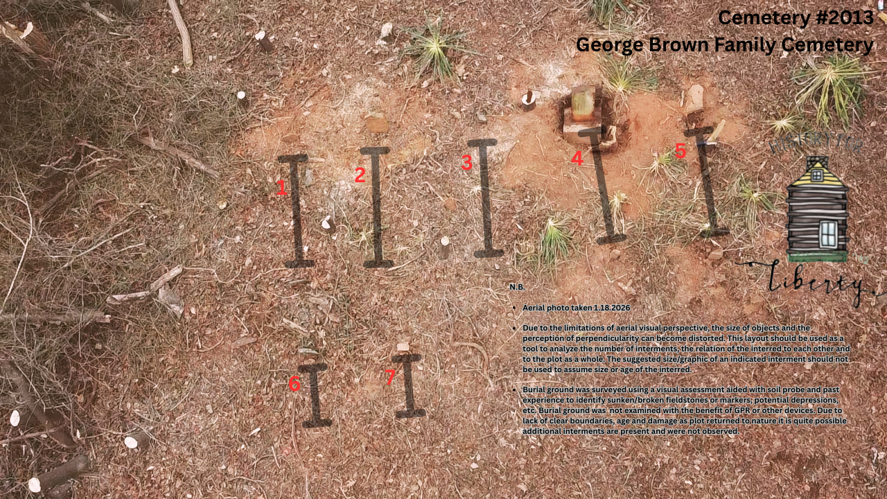
Cemetery Survey
Survey Notes
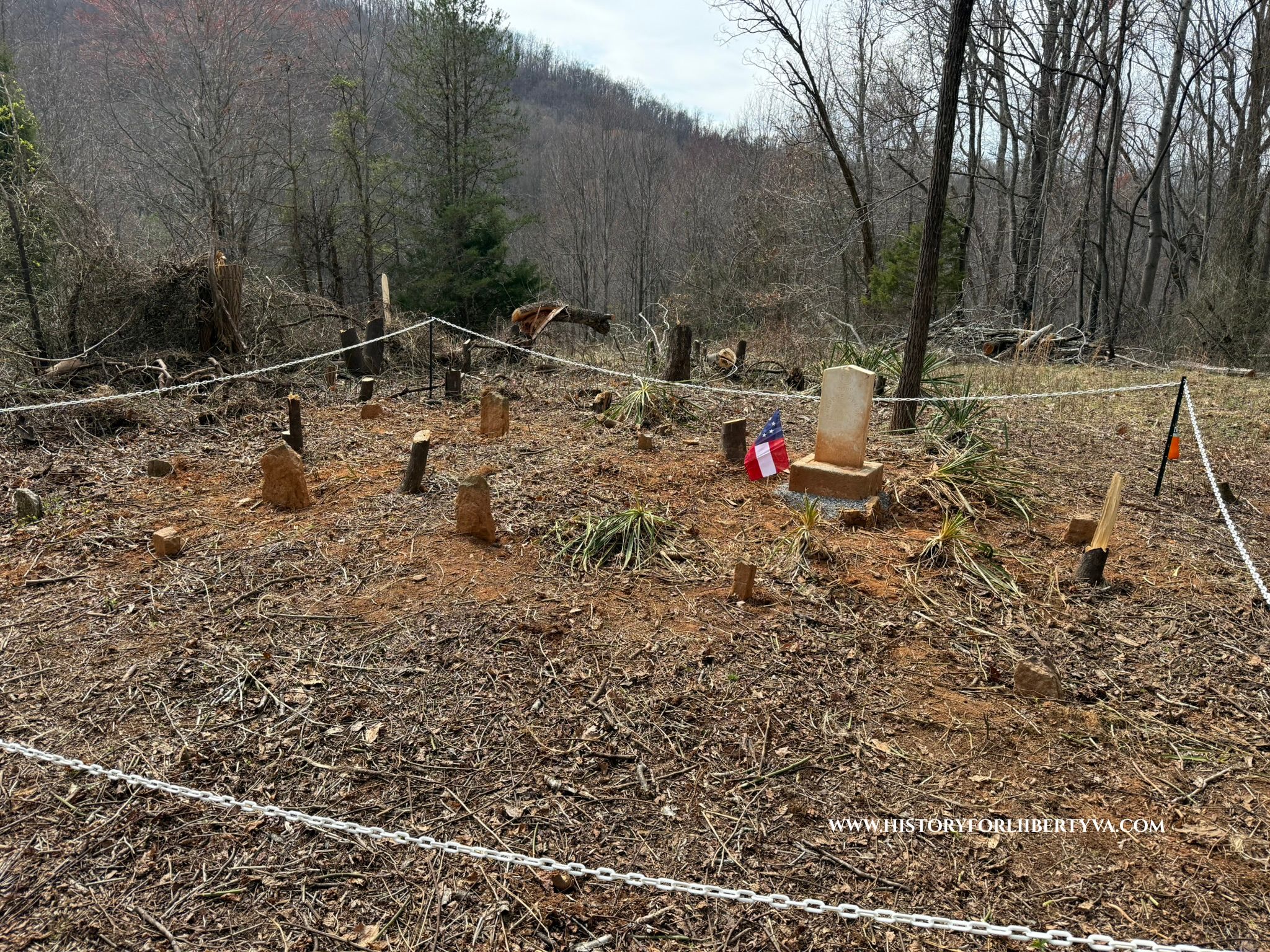
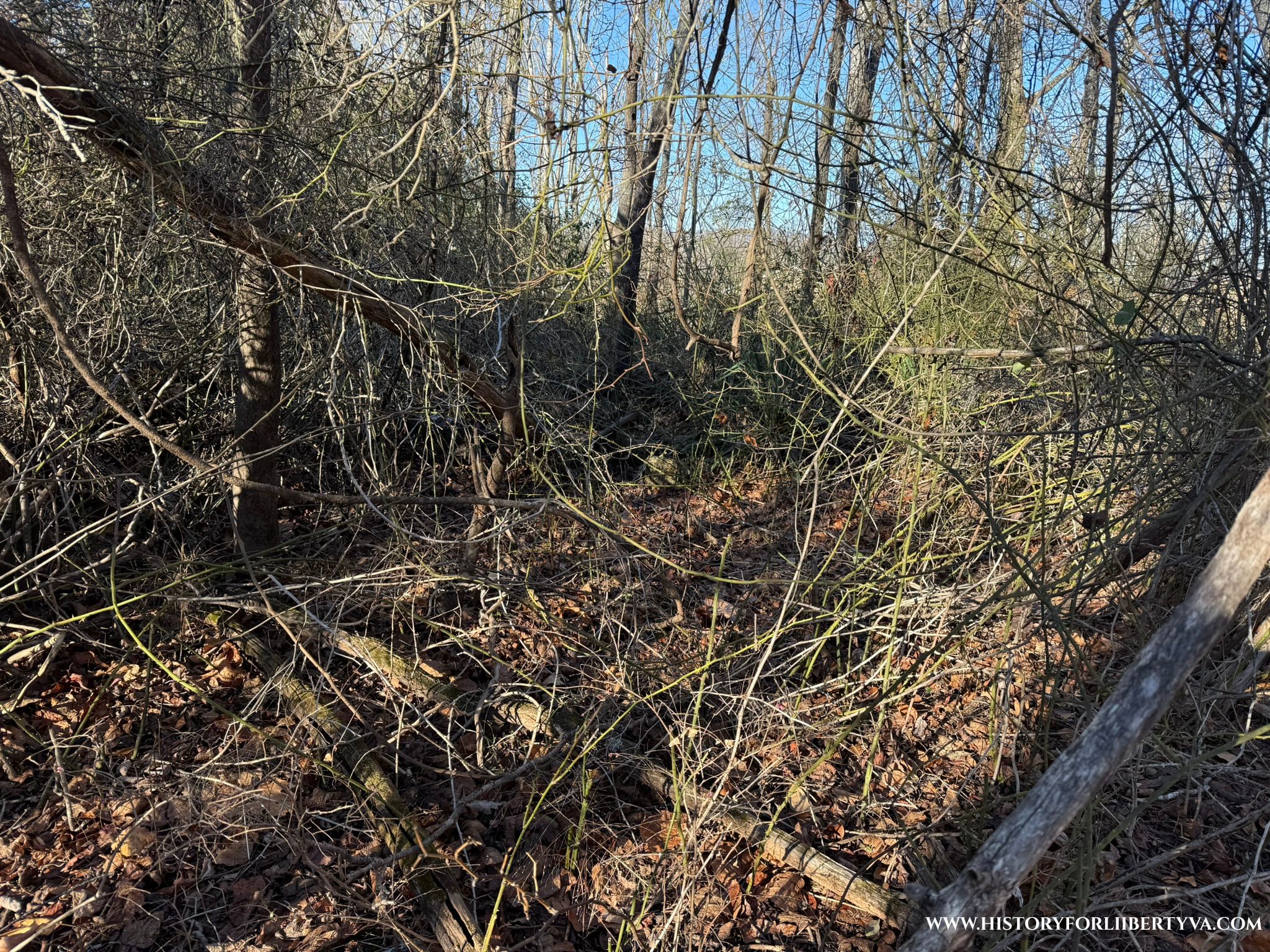
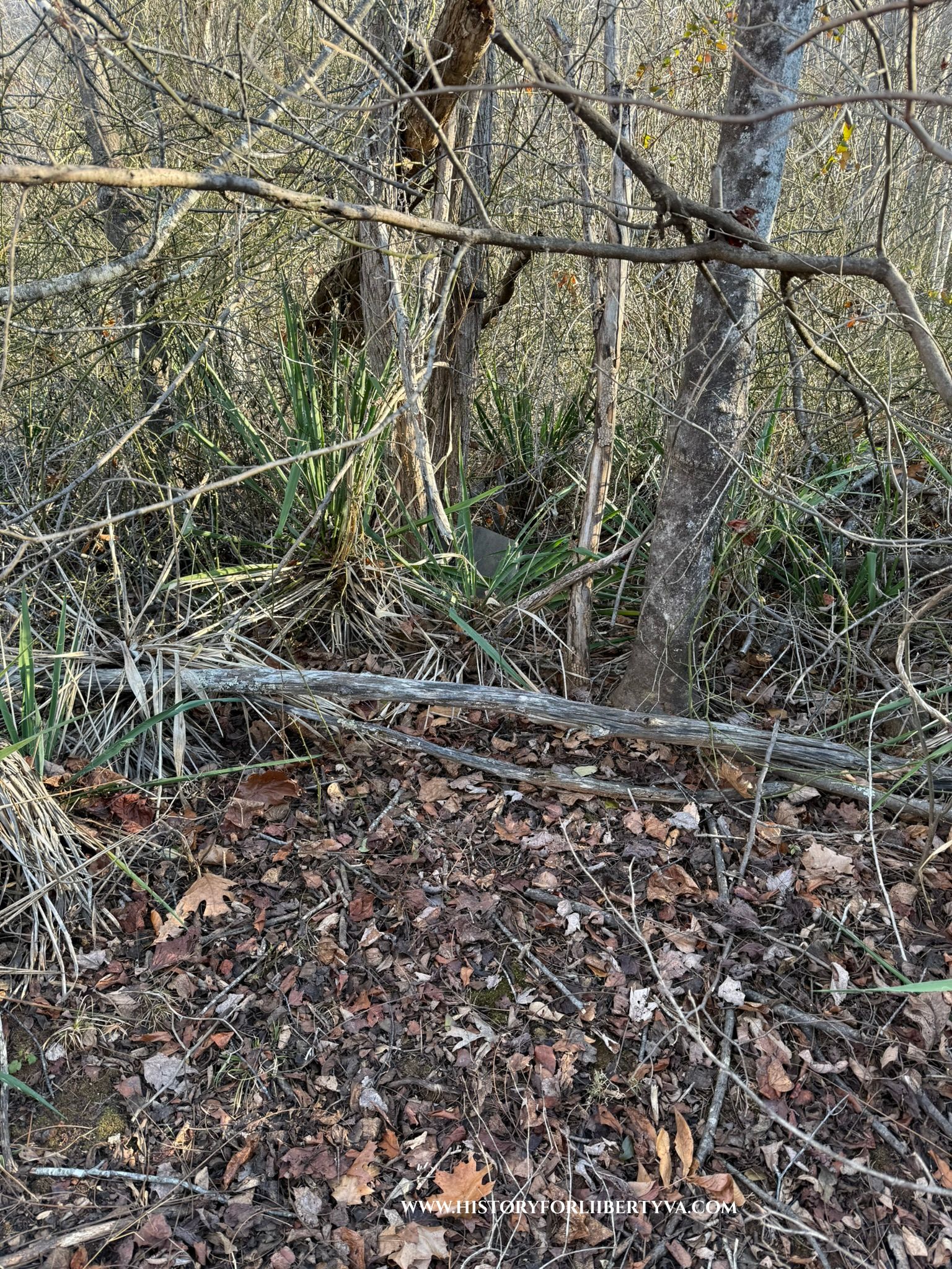
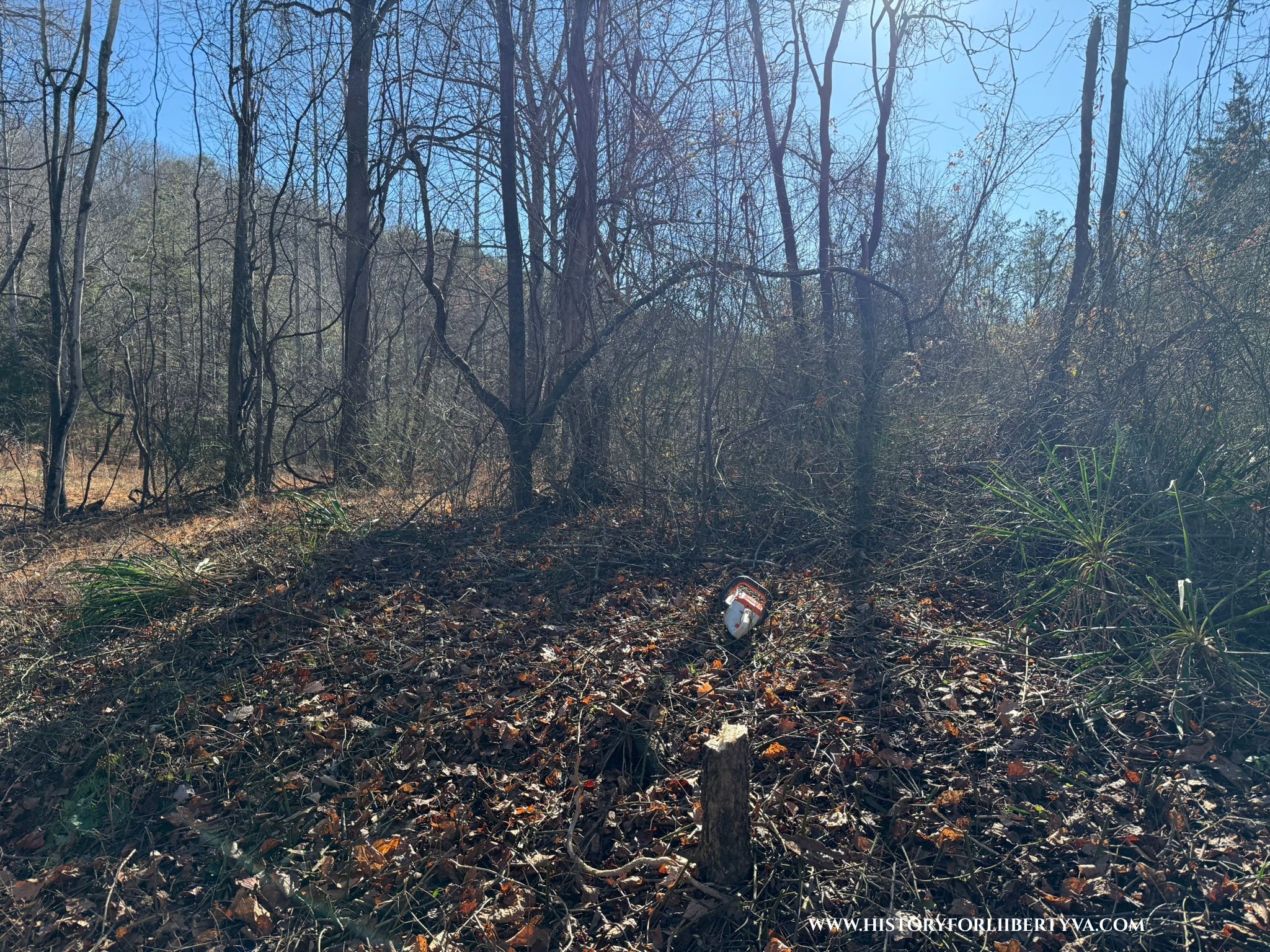
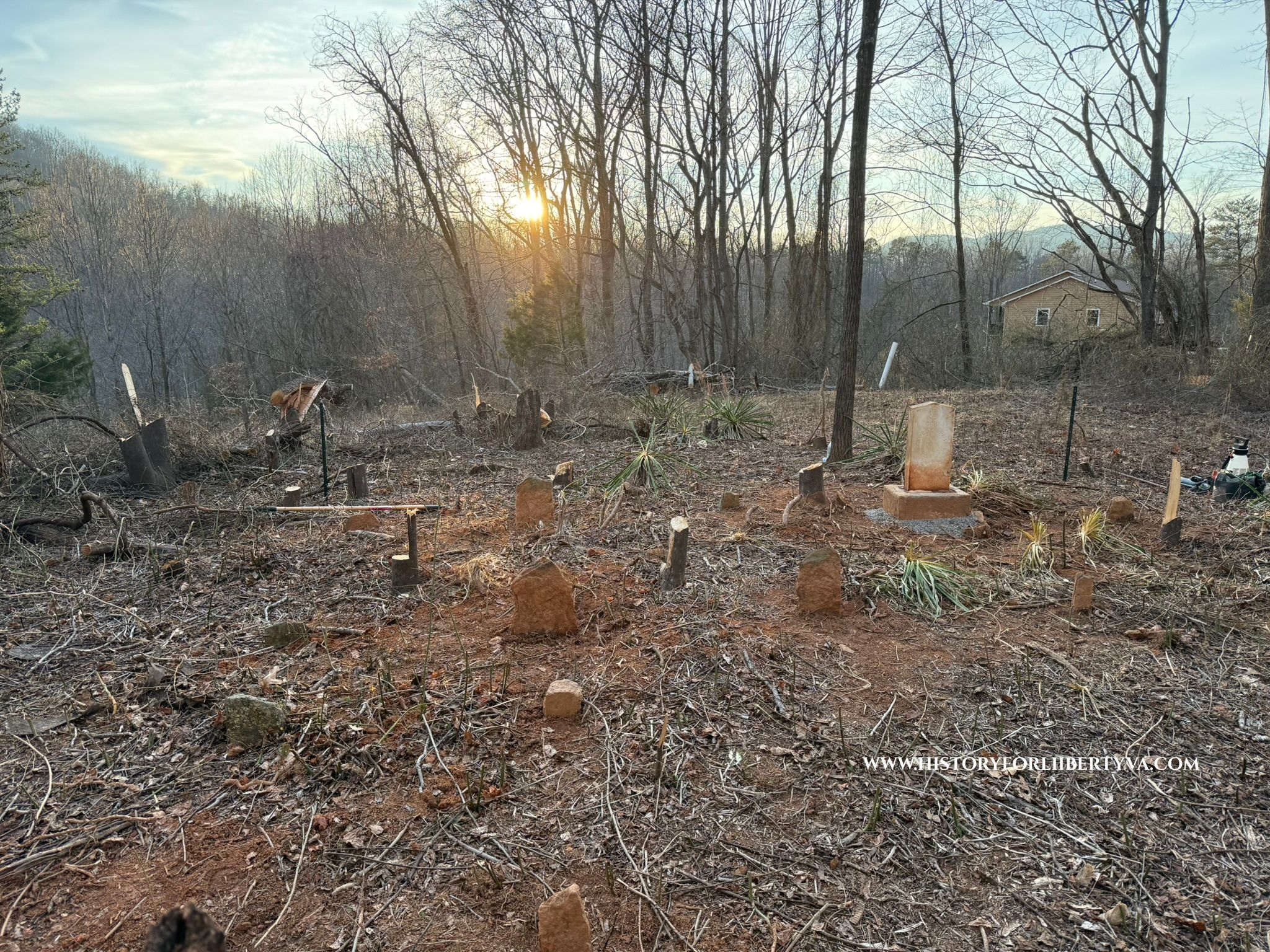
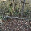
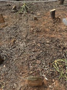
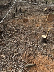
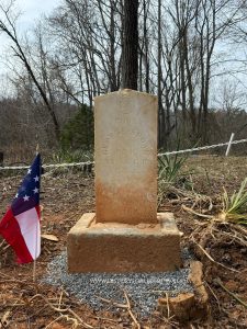
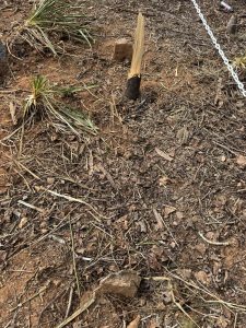
Cemetery plot was completely unrecognizable, markers sunken and requiring reset throughout.
Cemetery fully restored by History for Liberty in early 2026. Cemetery was previously completely overgrown with nearly all fieldstones below grade and the government issued marker enveloped in a tree. With aid of descendent plot was cleared off and surveyed. Descendent added a white chain fence with t-posts to preserve bounds of the plot.
About 85 acres of land owned and resided on by James M Pendleton on Dec 11, 1859 articles of agreement was drawn between Pendleton of the 1st part and Thomas W Wheeler and James William Graham of the second. With 4 equal payments due annually beginning 1/1/1860 possession given at time of agreement, but deed only upon full satisfaction of payment. Thomas Wheeler member of the 28th Virginia died at Richmond on 8/23/1864 and William James Graham 58th Virginia died 4/1/1863 also at Richmond. Only the first payment in 1860 was ever made. April 1867 widows of Wheeler and Graham agree to a public sale of parcel to discharge debts of deceased spouses. No other real or personal estate of value to be had. “Recognizing the land could not be saved and the debt was unavoidable, both widows consented to the chancery sale. They asked only that their dower rights be respected and whatever small residue might remain be divided among themselves and their children. In the event, the sale proceeds proved insufficient even to cover the unpaid purchase money, leaving the widows and children with nothing.”
George Brown took possession of the land at the public auction in which he was the highest bidder 14 March, 1868 at a mere $375 with title pending complete payment – worth noting he was enumerated residing (but not owning land) very nearby in the 1860 census already. In 1873 payment was finally fulfilled after he himself was delinquent from purchase from 1868-1873 and payment with interest tacked on and was only recorded as seen below Exhibit C in 1876.