William H Carner Family Cemetery
Location & Access
Near Sumdat Lane
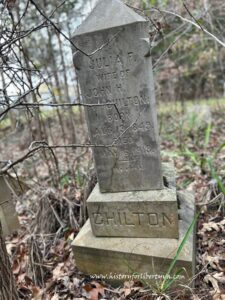
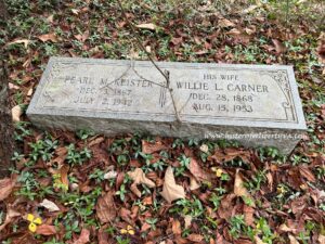
Keister Family Cemetery, Keister/Chilton Family Cemetery
Cemetery Survey
Survey Notes
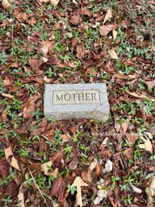
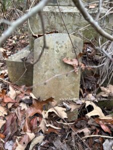
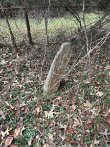
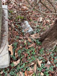
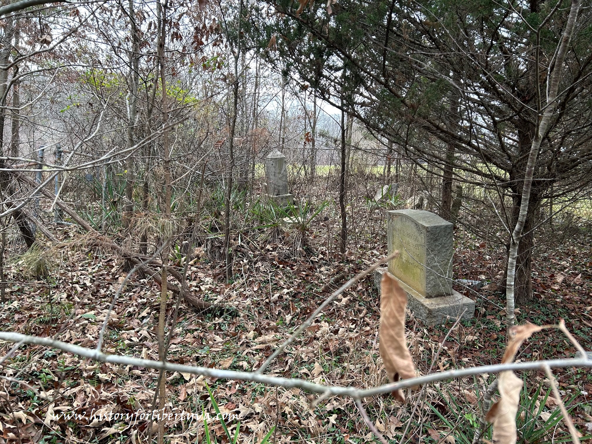
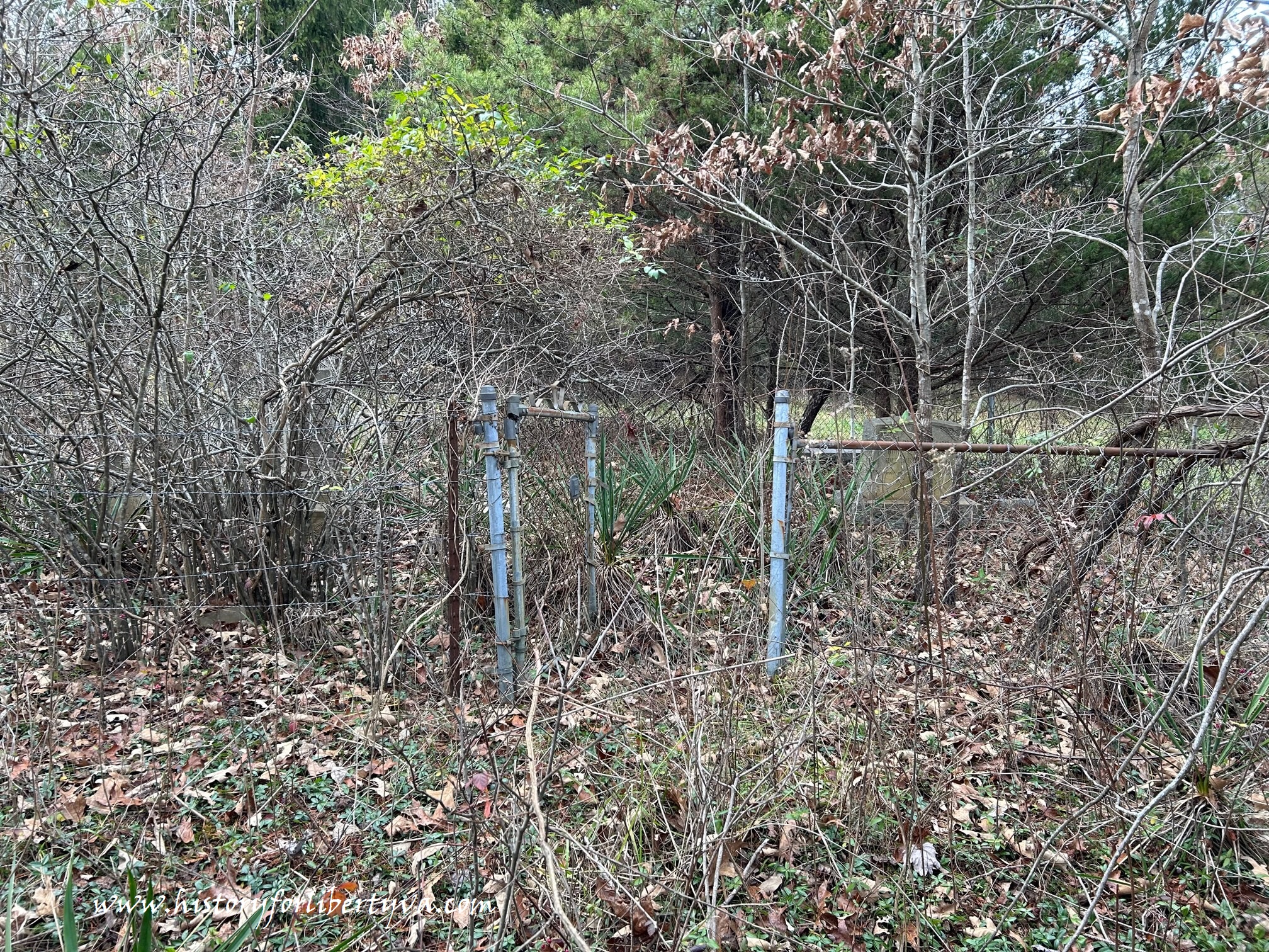
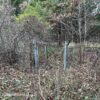
Several broken markers needing repair that can hopefully get reset and epoxied. Overall plot needs some clearing but is generally in decent shape. Plot is surrounded by a chain link fence with a number of repaired and damaged sections near some pines – an informant describes the area as having been used to grow and harvest Christmas trees for years – and is somewhat well protected.
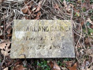
In spite of Keister name of plot, land was originally William H Carner homeplace and likely began with a burial of his daughter Nancy in 1863 and saw additional Carner children and grandchildren burials before the land was sold to daughter and her husband Pearl M Keister. Additionally J S Danner and spouse lived on a parceled piece of the land and likely are interred here along with daughter Mary E Bragg.
Plot sits within a hundred yards of the homeplace along edge of a cleared field.