Thomason and Brown Family Cemeteries
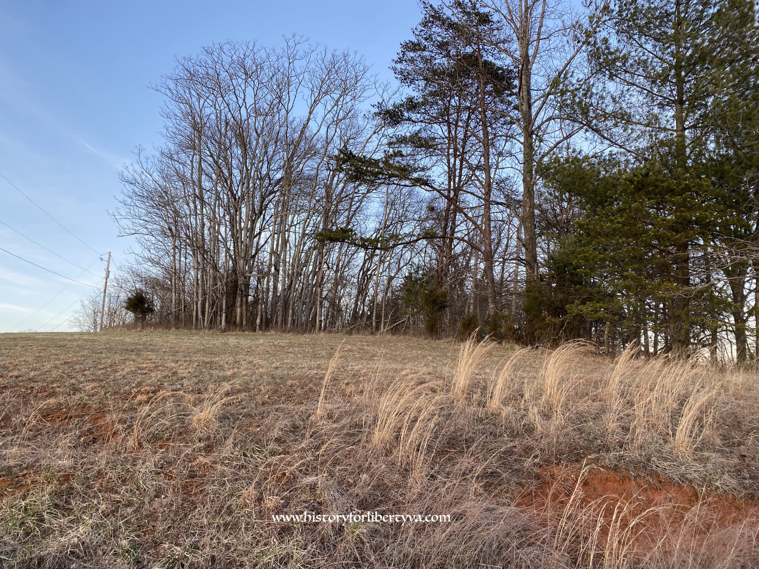
Location & Access
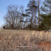
Off Gravel Hill Road
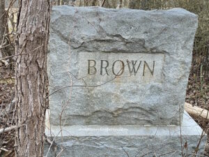
Thomason/Barton/Brown Family Cemetery
Cemetery Survey
Survey Notes
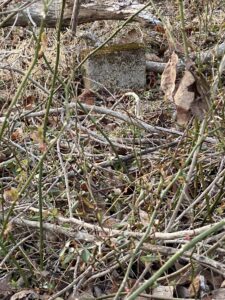
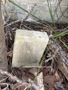
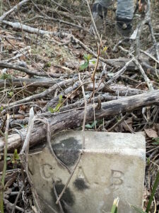
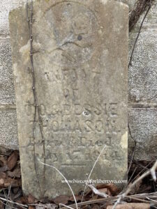
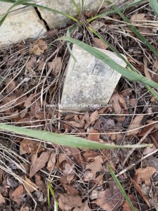
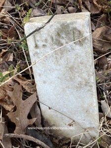
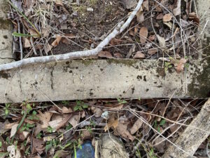
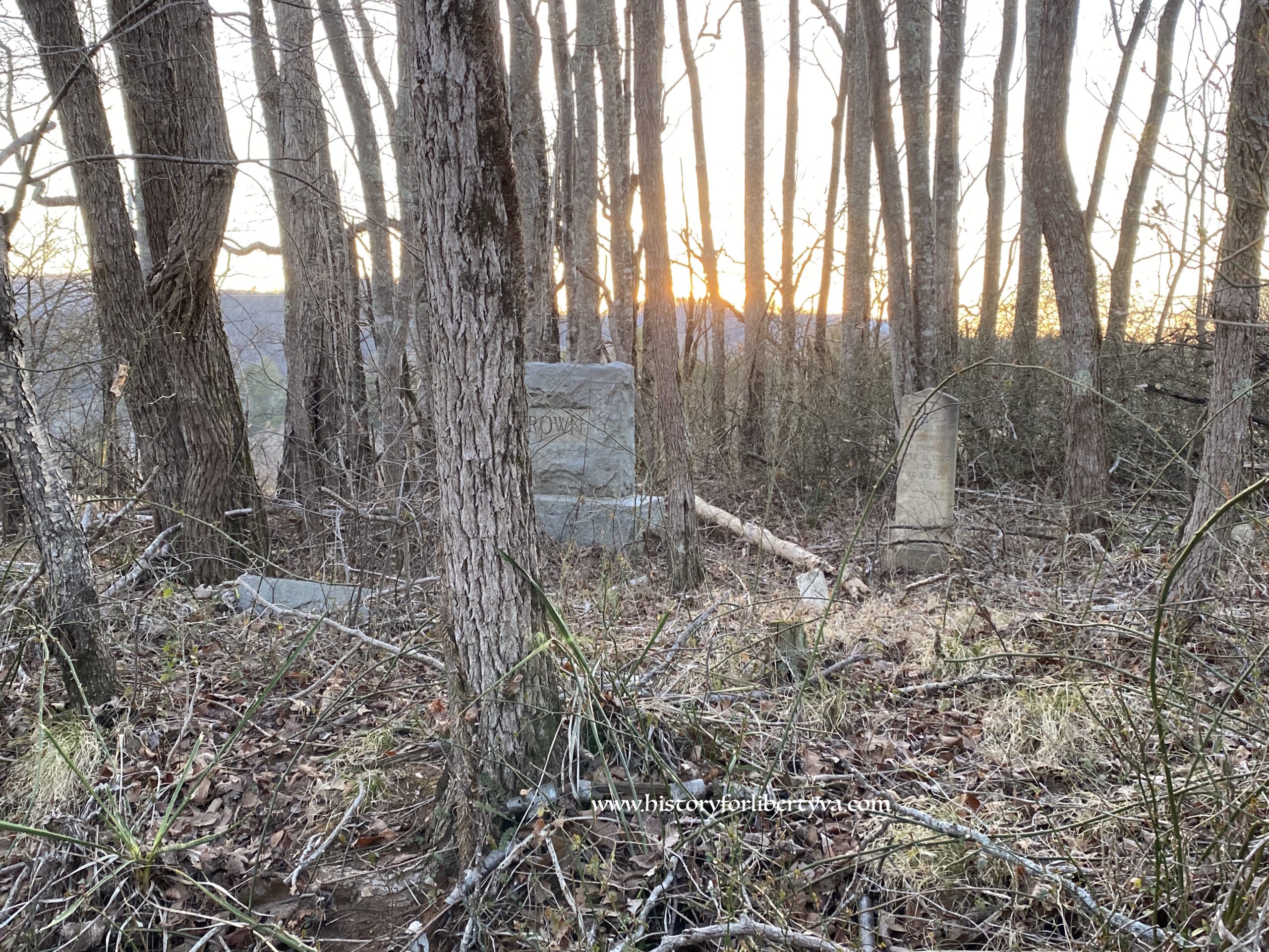
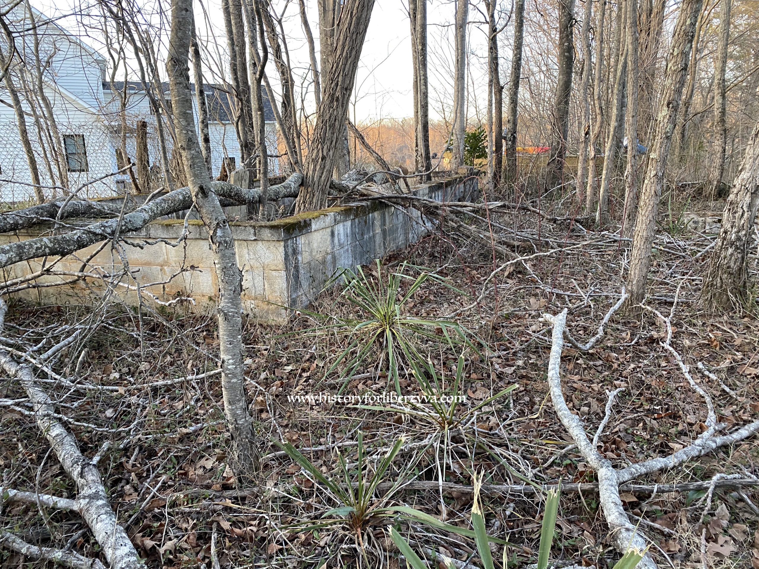
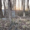
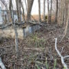
Several markers broken, evidence of past repairs. Cemetery is in disrepair with large Paradise trees steadily growing up in and around it posing serious threats to the many tablet type markers.
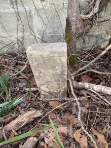
Small plot is set at edge of private road/drive and what is now a back yard of a new home. Cemetery is enclosed with fencing to the backyard which offers some protection, but the paradise trees are well established and falls have already broken a marker. Cemetery really is two plots, a slightly older Thomason plot which is enclosed by a block wall with a cap and then the Brown family which includes Barton and Ridgway burials. The Brown burials are outside the enclosure and to the left and some face different directions. Several of these are more recently placed markers – perhaps replacements. There is plenty of Yucca growing with in but also rapidly growing thorny brush. There may well be additional burials here laid flat or unmarked