Peaks Presbyterian Church Cemetery
Location & Access
Off Kelso Mill Rd across from Peaks Presbyterian Church
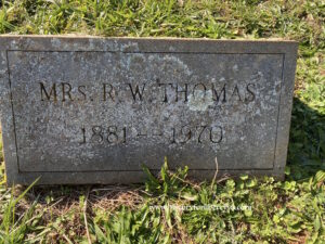
Hopkins Burial Ground, Thomas Burial Ground, Old Peaks Presbyterian Church Cemetery
Cemetery Survey
Survey Notes
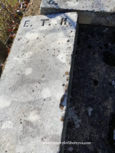
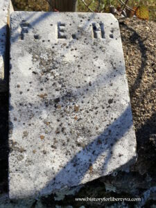
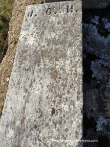
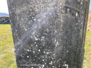
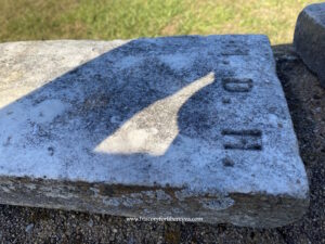
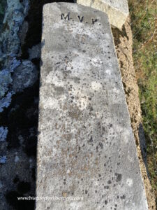
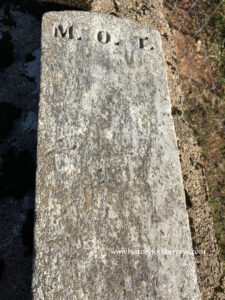
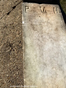
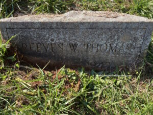
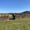
Some sinking monuments, large obelisk has fallen, all markers need a cleaning to clearly visualize and read
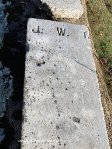
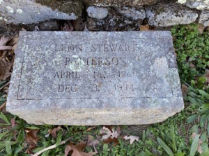
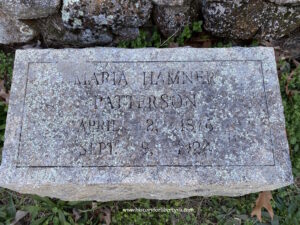
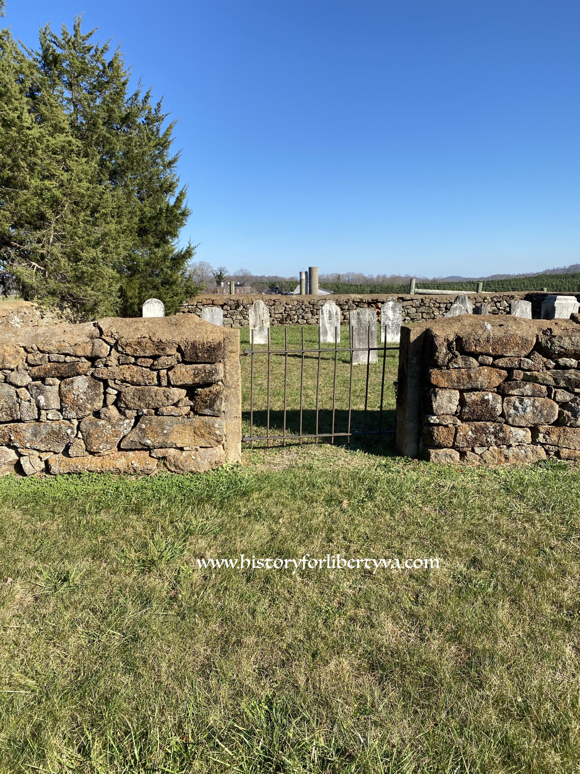
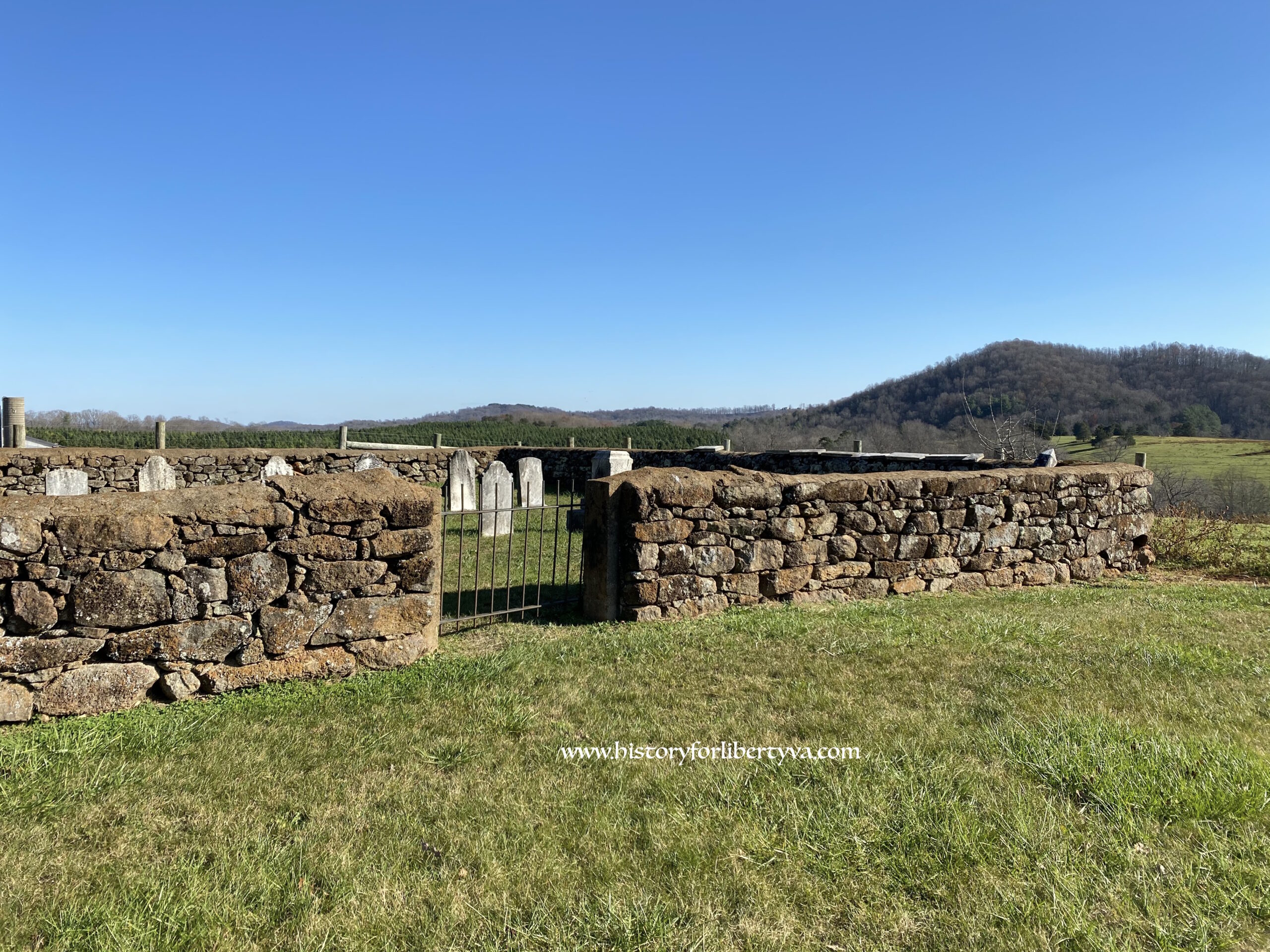
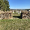
Interesting old plot surrounded by intact thick stacked rock wall. Likely originally a Hopkins family plot, it grew to include Patterson and Thomas burials through marriage. It appears that all were members of the Peaks Presbyterian Church, however it is unclear if this plot began as a church plot or was familial before eventually being encompassed by the church. Later burials refer to the plot as the church cemetery. Today the plot is separately stated on the GIS map within the larger Peaks Presbyterian Community Church Cemetery which appears to no longer be associated. Prior surveys included this with the larger community cemetery, we have separated them because of it predating the construction of the church in 1881 to 1882. More research is needed here.