Frances Johnson Family Cemetery
CEMETERY NO. 352

Location & Access
Quadrant
19A
Tax Map ID
180 A 11
Access
Off Harveys Creek Road
Condition
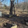
Back to Nature
Terrain
Moderate/Sloping
Other Names
None
Cemetery Survey
Marked Graves
9
Fieldstones
5
Burial Era
1837 – 1905
Total Suspected
14
Aerial Survey Map
No map recorded
Survey Notes
Survey Date
02/12/2025
Damage Noted
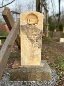
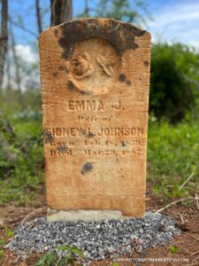
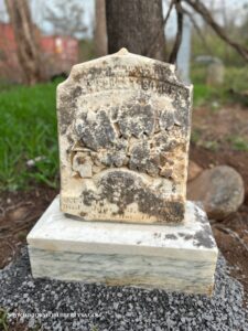
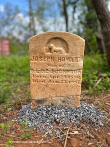
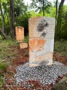
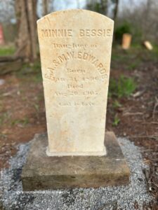
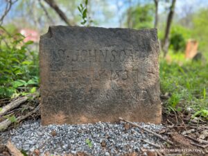
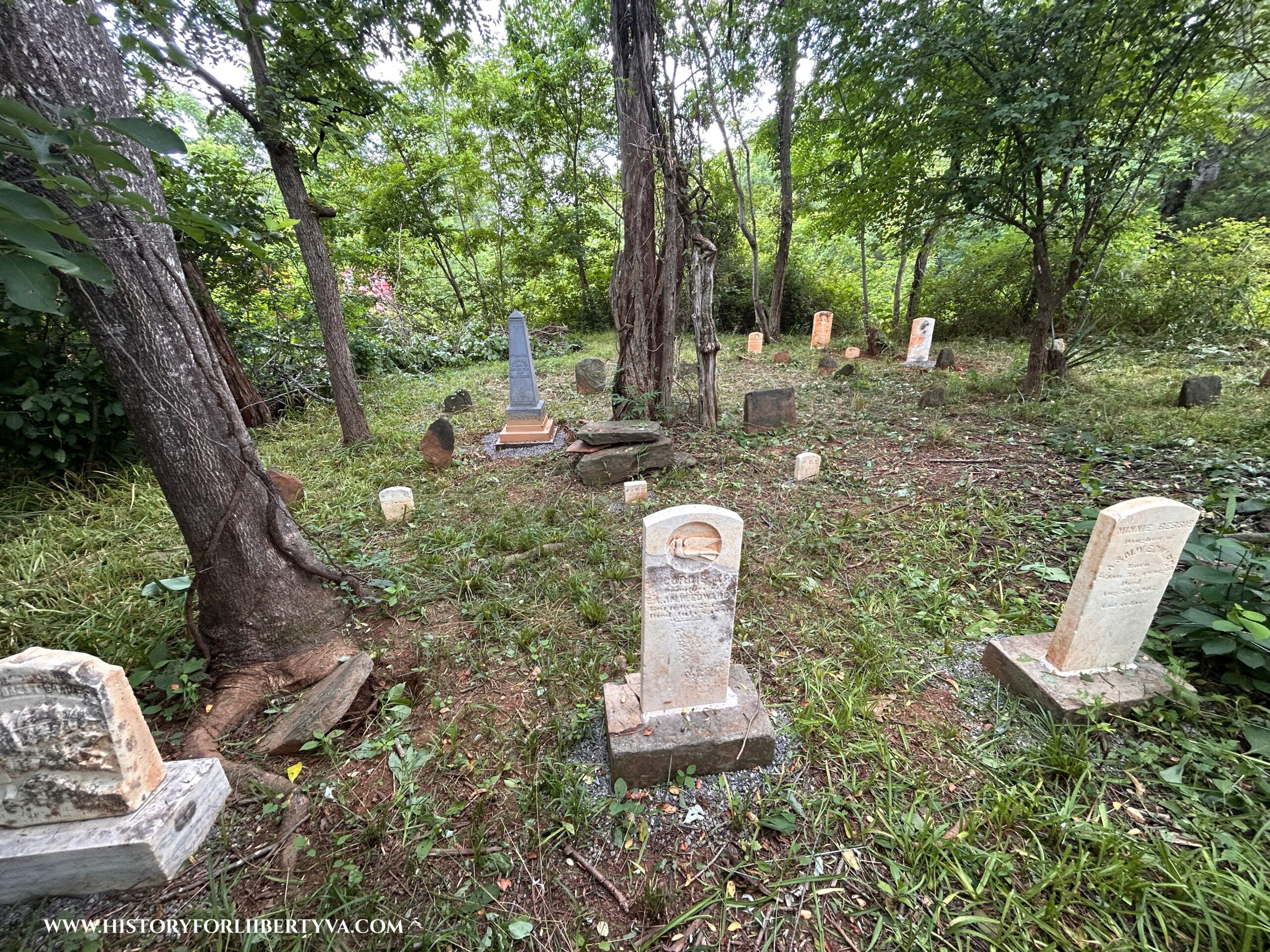
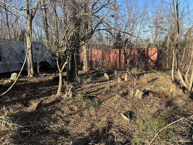
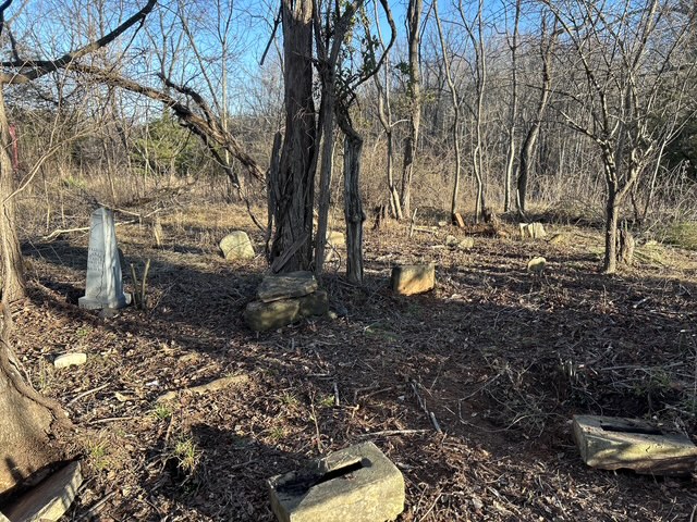
Cemetery in rough condition when found, multiple markers down, buried and broken. Some evidence of damage likely due to placement of mobile home at edge of plot.
Notes
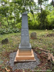
Cemetery appears to belong to the family and descendants of Francis Johnson. Cemetery sits near road and at an elevated point by large field in an area long dominated by the descendants of Thomas Johnson. The plot is fairly small with a tight layout of burials with a majority marked only with fieldstones. History for Liberty is in the process of repairing and resetting several markers in this plot (3/1/2025). Restoration completed June 2025.