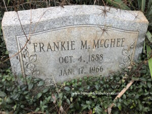
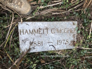
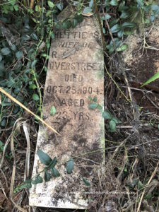
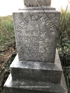
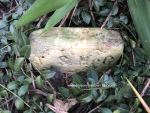
David R McGhee Family Cemetery
CEMETERY NO. 476

Location & Access
Quadrant
20A
Tax Map ID
184-A-13
Access
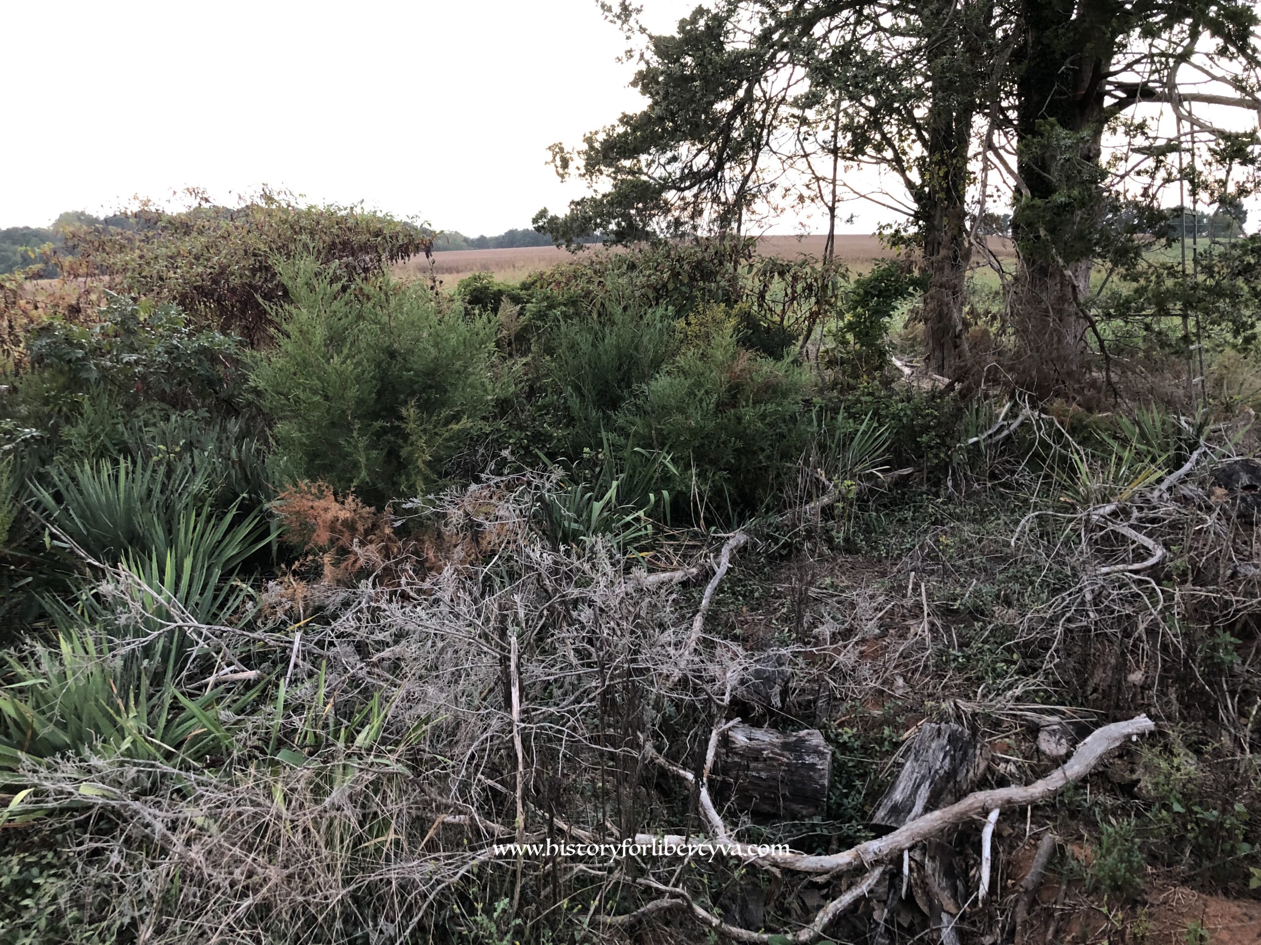
Cemetery lies approximately one quarter of a mile off the road in cultivated fields.
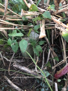
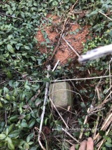
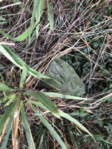
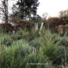
Condition
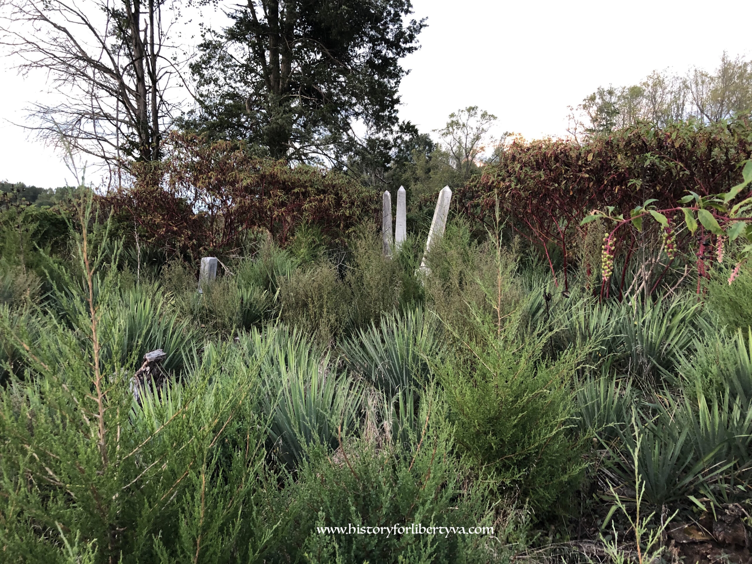
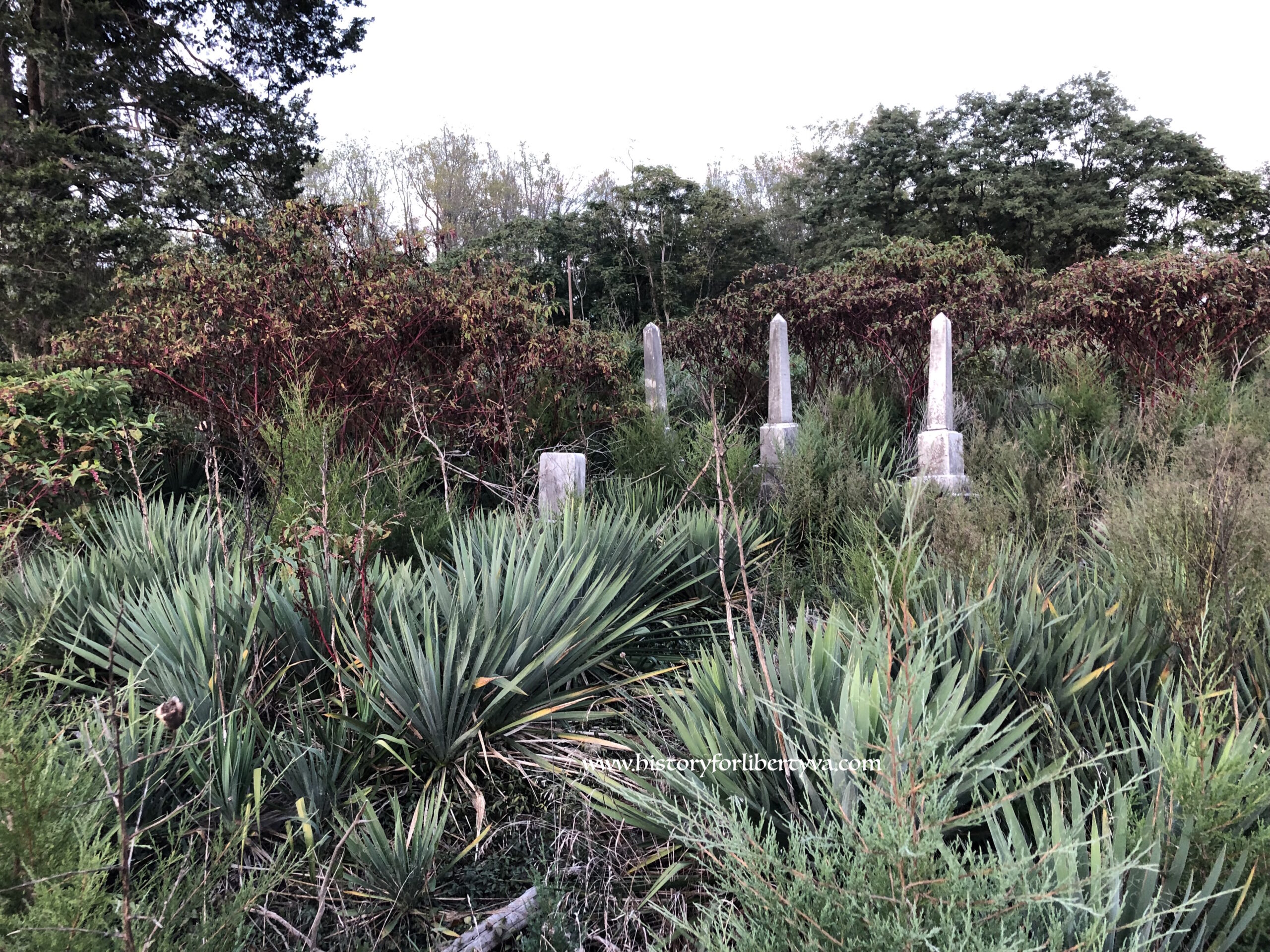
Overgrown
Terrain
Level
Other Names
McGhee Family Cemetery
Cemetery Survey
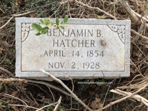
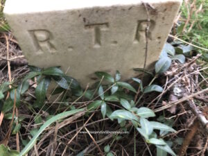
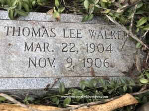
Marked Graves
14
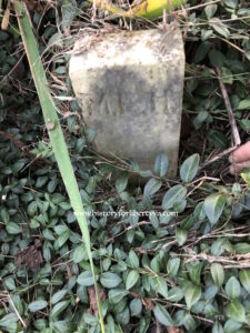
Fieldstones
2
Burial Era
1892 – 1978
Total Suspected
16
Aerial Survey Map
No map recorded
Survey Notes
Survey Date
09/21/2019
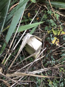
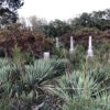
Damage Noted
Area has been cleared, some graves have been knocked over. Obelisk knocked over, small marker down as well. Evidence of collapsed/sinking graves. Cemetery at risk and needs preservation to prevent further loss.
Notes
Likely are more internments here that have been missed or lost, prior survey indicated “30 burials,” though did not identify tomb rocks vs marked internments.